
Select A Store
Select Store
My Store:
Select A Store
Overview
Overview
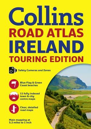
Perfect for visitors to Ireland, this atlas features places of tourist interest; contact information for Tourist Information Centres with grid references to the mapping; and fully indexed street maps of 11 cities and towns--Dublin, Belfast, Cork, Limerick, Londonderry (Derry), Galway, Bangor, Waterford, Dun Laoghaire, Drogheda and Killarney. It also notes speed enforcement zones and fixed location speed cameras, Blue Flag & Green Coast beaches, and ferry and airport information. It has a distance chart, and distances are marked on the roads in miles and kilometers. Route planning map of the whole of Ireland is at 15.8 miles to 1 inch. Includes an administrative map of Irish counties and districts, and attractive layer colors showing land height.
- Format: Trade Paperback
- Author: Collins Uk
- ISBN: 9780008183721
- Condition: Used
- Dimensions: 11.40 x 0.20
- Number Of Pages: 64
- Publication Year: 2017
Language:
English