


Select A Store
Select Store
My Store:
Select A Store
Availability:
-
Online Only
$1,500.00
Overview
Overview
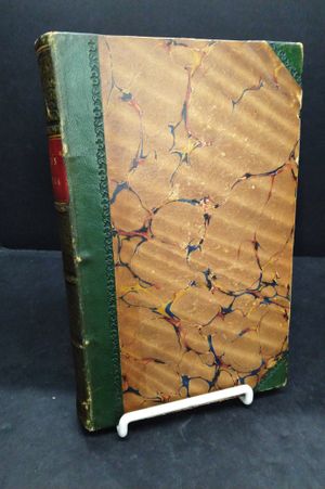
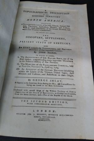
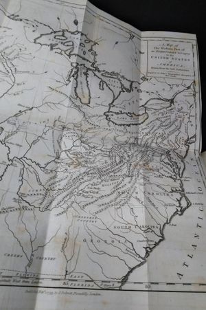
At the time that this book was published the western edge of the United States was the Mississippi river. The author, George Imlay had been a captain in the American army and was able to gather considerable information during his time in service. Stated second edition. The book includes a fold out map at the title page. There is another smaller fold out map of the rapids of Ohio at page 51 and a third fold out map of Kentucky at page 400. There is a fold out table of distances between Pittsburgh and the mouth of the Ohio river at page 112. The brown marbled boards are quarter leather with dark green leather at the corners and spine. The spine has gilt font and designs. The spine is tight. Contains a 16 page introduction, 433 pages of text, 20 page index and 2 pages of advertisement. The lower right corner of the third and fourth pages of the index has been torn off. The pages are tightly bound throughout with minimal foxing. The top edge is stained dark brown.
- Format: Hardback
- Author: Imlay, George
- Condition: Very Good
- Publisher: J. Debrett