


Select A Store
Select Store
My Store:
Select A Store
Overview
Overview
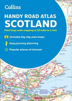
This handy A5 sized road atlas has extremely clear, route planning maps of Scotland. Scale of main maps: 1:625,000 (9.9 miles to 1 inch). Places of tourist interest are highlighted. Layer coloring shows land height. Road network is classified and color coded. Detailed street maps of Edinburgh, Glasgow, Aberdeen. Street maps of Dundee, Inverness and Perth city centers. Distance calculator chart highlights distances between major towns. Transport connections section listing airports and details of vehicle ferries into and within Scotland. Covers the whole of Scotland and part of northern England, down to Kendal and Scarborough in the south.
- Format: Trade Paperback
- Author: Collins Maps
- ISBN: 9780008276393
- Condition: Used
- Dimensions: 8.10 x 0.10
- Number Of Pages: 72
- Publication Year: 2018
Language:
English